Krim 

The memorial to the National Liberation War

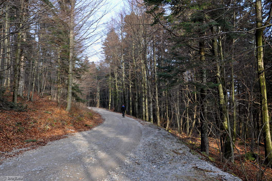
Road from the direction of Rakitna

Turning for Krim from the direction of Rakitna and Ig

Rider on Krim

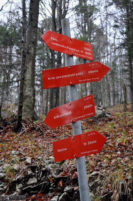
Direction signs

Krim, Rakitna, Lovska koca, etc.

Last part of the road to Krim
 - Photo: 2460-7")
Direction signs near Krim (Iski Vintgar, Tomiselj, Preserje, etc.)

View of Krim with transmitters

Lime tree planted at the 20th anniversary of Slovenia's independance

Memorial on Krim

Memorial

Transmitter Krim

Dom na Krimu Mountain Hut and transmitters

Dom na Krimu Mountain Hut

Krim

Dom na Krimu Mountain Hut - Entrance

Benches in front of the Dom na Krimu Mountain Hut
 - Stamp - Photo: 2460-18")
Krim (1107 m) - Stamp

Memorial to commemorate the first measurement of the land cadastre pre...

Krim - Trigonometric point I. order no. 172
Hotels, Apartments and Rooms
Data
Municipality: IG (7366 population)
Settlements in the municipality:
Ig (2318 population), Golo (528), Škrilje (491), Iška vas (429), Tomišelj (383),
Brest (365), Zapotok (352), Iška Loka (291), Visoko (268), Vrbljene (266), Iška (265), Matena (262), Draga (180), Strahomer (152), Podkraj (134), Staje (133), Kot (120), Podgozd (118), Sarsko (81), Dobravica (70), Kremenica (59), Rogatec nad Želimljami (31), Gornji Ig (27), Suša (27), Selnik (16)
 KRAJI - Slovenia
 IgChalet Iskaretreat